Backed by the Global Covenant of Mayors
Know where to invest, protect and intervene first.
Polisense turns satellite, climate, infrastructure and regulatory data into ranked, explainable answers, in hours instead of months.
Terrain
Water
Infrastructure
Constraints
Ranked result
Priority 1
Priority 2
Priority 3
- per analysis, down from 3.5-4 hours
- ~30 min
- per analysis, down from 3.5-4 hours
- water sites screened, then shortlisted
- 196 → 41
- water sites screened, then shortlisted
- capabilities on one engine
- 7
- capabilities on one engine
The money exists. The analysis is the bottleneck.
49% of climate projects never get built. Funding is rarely why.
- per GIS analysis
- 3.5-4 h
- ~30 minper GIS analysis
- from question to answer
- 10 tools
- 1 workspacefrom question to answer
- behind every ranking
- Black-box scores
- Cited evidencebehind every ranking
TodayWith Polisense
One loop, from question to decision
Ask
Describe the area and the question
In plain language, right in the chat.
Analyze
The engine does the GIS work
Constraints drop out. Every area is scored.
Act
Get a ranked, defensible answer
With the evidence and a ready report.
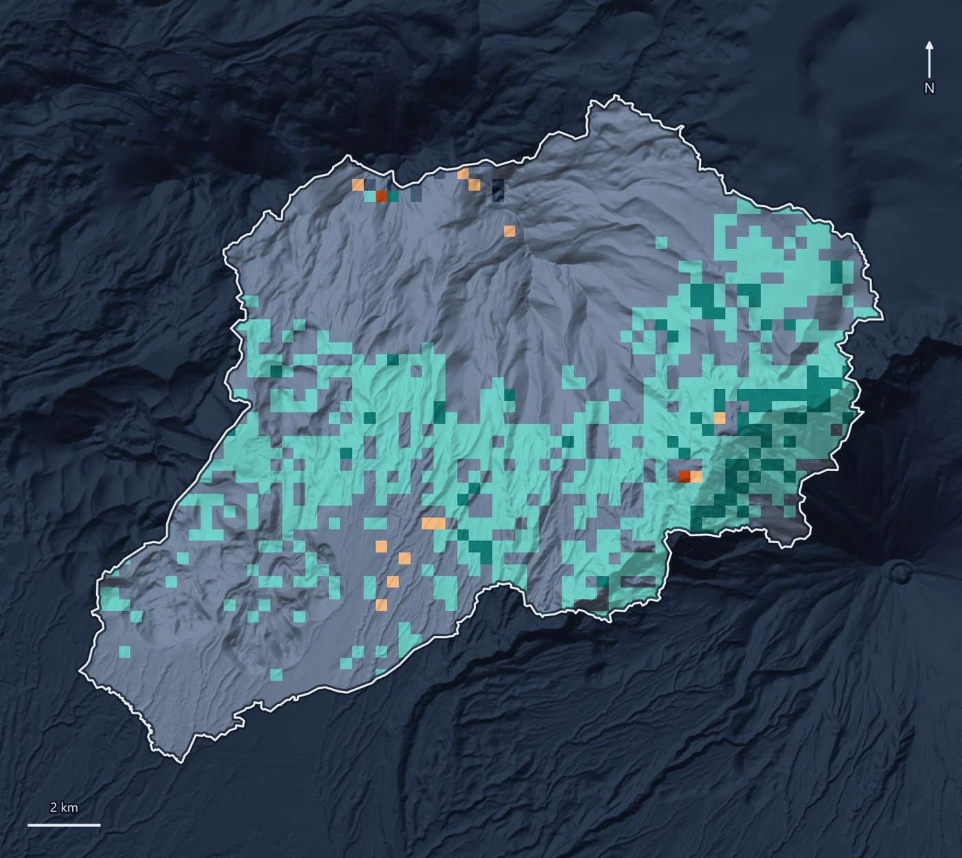
182 cells in the study areaExcludedScore
Seven capabilities, one engine
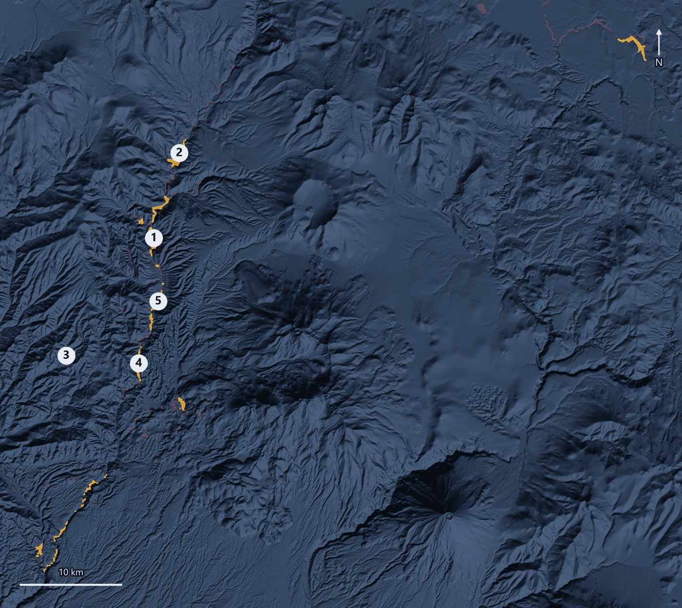
All products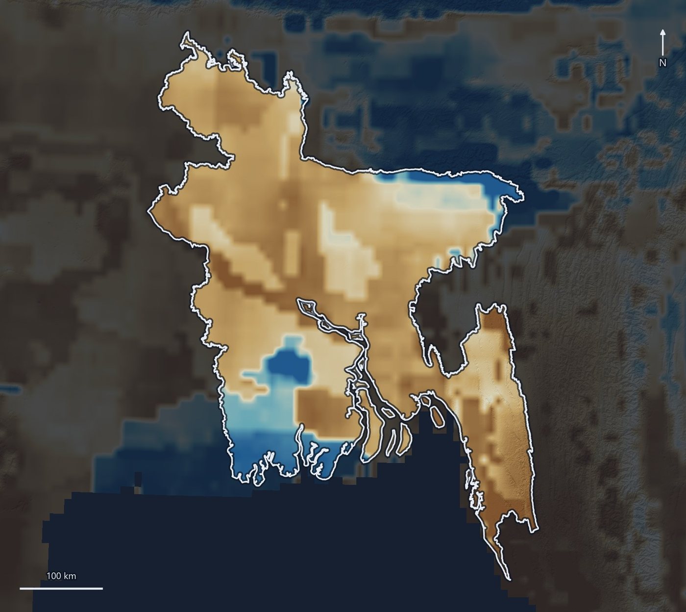
Bring us a territory and a question
We will answer it with you, live.